Ever wondered why the number of continents on a map can change depending on which book you’re reading? Geography is full of these little puzzles, and untangling them is part of what makes learning about the world so rewarding. This article rounds up fascinating facts, surprising numbers, and a few genuine surprises about every landmass on the planet, written especially with students, curious kids, and geography lovers in mind. You will learn how geographers define a continent in the first place, why some regions get grouped together on one map and split apart on another, and a long list of details most people never learn in school. Once you have read through, spin up a country with our random country generator and explore the seven continents of the world for yourself.
This article explores fascinating and lesser-known facts about all seven continents, covering their geography, wildlife, climate, and culture, so readers can better understand what makes each part of our world so unique.
What Makes a Continent, Anyway?
Before diving into individual facts, it’s worth understanding how continents are defined in the first place. A continent is generally described as a large, continuous area of land, separated from other such areas by oceans or other natural boundaries. By that definition, Earth has seven continents: Asia, Africa, North America, South America, Antarctica, Europe, and Oceania. Some textbooks combine the Americas into a single unit instead of counting them separately, which is why you may sometimes hear there are only six rather than seven recognized worldwide. There is no single scientific rulebook that settles the debate, so the number of continents recognized today really depends on the country, culture, or classroom doing the counting. Quick fact: 7 continents, hundreds of countries, endless things left to discover.
Asia: Facts About the Biggest Continent
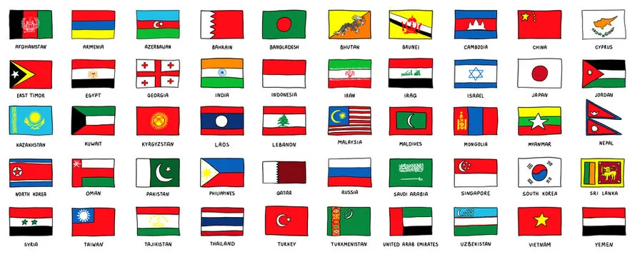
Asia is the largest continent on Earth, covering roughly 44.6 million square kilometers, more than 30 percent of all the land on the planet. It is also the most populous, home to more than 4.6 billion people, close to 60 percent of everyone alive today. Asia holds Mount Everest, the tallest mountain in the world, along with the Arabian Peninsula tucked into its southwestern corner. It is also home to the Great Wall of China, a structure so long it stretches across deserts, mountains, and grasslands for thousands of kilometers. Asia alone is also home to some of the biggest cities in the world, several with populations larger than entire countries. Curious how many different nations share this one continent? Try the random Asian country generator to see a fresh one instantly.
One Land, Two Continents: The Eurasia Debate
Here is one of the most debated facts for kids in any geography class: these two regions sit on one unbroken stretch of land, which is why some geographers describe the pair as a single continent called Eurasia rather than two distinct regions. Culturally, historically, and politically, though, Europe and Asia are considered separate continents, each with its own name, borders, and identity. This is also why some atlases describe Asia as a single continent while others fold the entire stretch of land together under the broader label Eurasia. Want to meet a country from the European side of that landmass? Click the random European country generator and see who comes up.
Africa: Deserts, Wildlife, and Record-Breakers
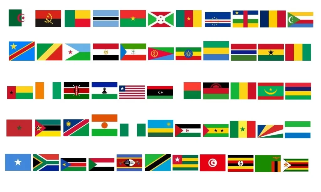
Africa is the continent most people picture when they imagine wide savannas, migrating herds, and golden sunsets, but there is far more going on beneath the surface. By size, Africa ranks second among all continents, just behind Asia, and it has the second-biggest land area of any landmass on the planet. The African continent is home to the Sahara Desert, the largest hot desert in the world, as well as dense rainforest belts near the equator that support incredible biodiversity. From ancient pyramids to modern megacities, Africa’s story stretches back to the very origins of humanity itself. If you want to land on one of its 54 nations at random, the random African country generator is a fun place to start.
North America and South America: One Continent or Two?
These two regions are often taught as two distinct pieces of land connected by a narrow strip called Central America, though a few classrooms still teach them as a single continent called America. Together, North and South America are sometimes shown as one connected region on simplified maps, which is exactly the pairing that confuses students most, since the two share a name yet sit on very different tectonic plates. Geographers who treat the Americas as a single American continent still argue about exactly where one half ends and the other begins. The Americas are also home to the Amazon Rainforest, the world’s largest tropical rainforest, a vast green expanse that produces a significant share of the planet’s oxygen and shelters more species than almost anywhere else on the planet. Want to explore this side of the map? The random American country generator covers all 35 countries from north to south.
Antarctica: Ice, Wind, and Isolation
Antarctica is the world’s driest, coldest, and windiest place, and even though it is almost entirely covered in ice, it receives so little snowfall that scientists classify parts of it as the largest desert on Earth. Antarctica has no permanent residents and no official government, only rotating teams of scientists who brave the freezing temperatures to study climate change, wildlife, and the deep ice sheets below their feet. Sitting at the bottom of the globe and surrounded entirely by ocean, it remains one of the least explored places on the entire planet.
Thousands of Islands in the Pacific
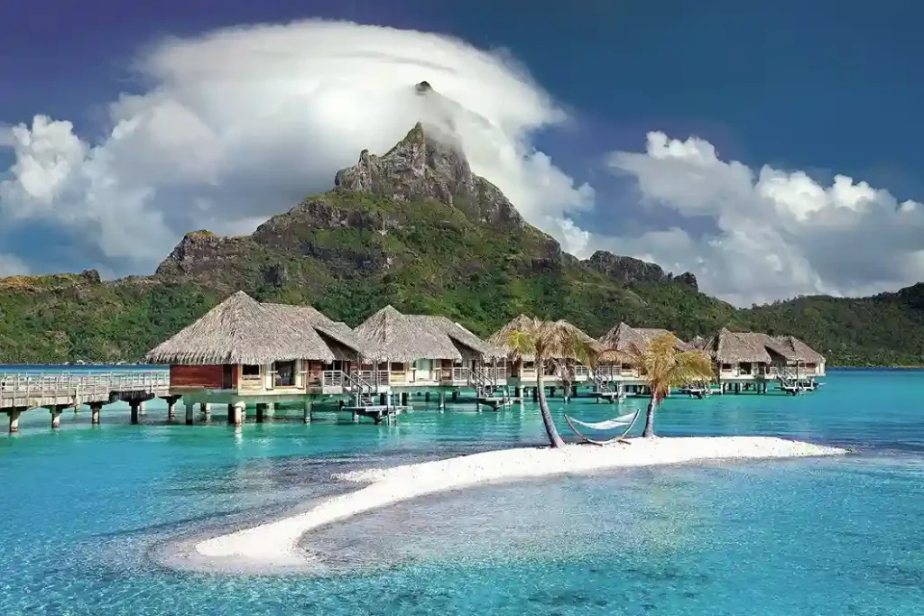
Oceania is widely considered the smallest continent in the world, and rather than one continuous stretch of land, it is made up of many islands in the Pacific, from tiny atolls to volcanic archipelagos. Australia forms the largest single piece of land in the group, while countries such as New Zealand and New Caledonia add their own cultures, wildlife, and landscapes to the mix. Thousands of islands in the Pacific Ocean give this continent its nickname as the island continent. This continent is also home to the Great Barrier Reef, the largest coral reef system on the planet, stretching for more than 2,000 kilometers off the coast of Australia. Fittingly, this is also where some of the smallest countries on Earth can be found, alongside the random Oceania country generator if you want to explore its Pacific nations one at a time.
How the Continents Were Formed: A Story of Shifting Plates
Around 200 million years ago, every continent on Earth was joined together into one giant supercontinent known as Pangaea. Due to tectonic plate movement deep beneath the crust, this single stretch of land slowly split apart and drifted into the continents we know on a map today. They don’t just sit still forever, either; over millions of years, they keep drifting, colliding, and reshaping themselves in ways too slow for any human to notice in a single lifetime.
Amazing Facts and Numbers Kids Will Love
Here are a few more numbers to round out your continent knowledge. Five oceans, the Pacific, Atlantic, Indian, Arctic, and Southern, border every continent in different ways, connecting even the most far-apart parts of the map. Greenland is located between the Atlantic and Arctic Oceans and, despite being enormous, is still classified as an island rather than a continent because it sits on the same tectonic plate as North America. Size and population vary enormously across different continents, from Asia’s billions of residents to Antarctica’s population of essentially zero. Every continent’s story is different, and Earth’s seven continents each carry their own record-breaking cities, landmarks, and natural wonders worth exploring.
Become a Continent Expert: Final Notes
By now, you can explain why some maps show six continents instead of seven, why certain regions never quite settled their continent debate, and why Antarctica’s ice sheets matter far beyond its own icy borders. To keep the discoveries coming, no matter which country in the world you generate next with our random country generator, check out our guide on how to use a country generator for geography lessons, or browse our favorite geography games for students to turn every fact above into a classroom activity kids will actually enjoy. That wraps up our biggest facts about the continents for now.
For a numbers-driven companion piece, check out the richest countries in the world and how GDP per capita shapes these rankings.
For a deeper look at economic contrasts across the globe, check out the poorest countries in the world and the causes behind these rankings.