Most students don’t dislike geography. They dislike how it’s taught. Endless memorization of countries, capitals, and flags rarely makes anything stick, and standard worksheets do little to build real map skill. Geography games for students solve this problem by turning passive review into active play, where remembering a place feels like winning a round instead of passing a test. This article highlights the best options for students and classrooms, explaining how each one works, who it suits best, and how the adults running it can use it to make the subject genuinely enjoyable.
Why These Games Actually Work
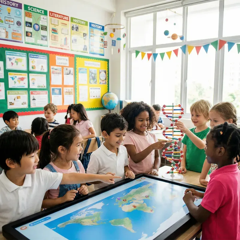
These formats work because they replace memorization with repetition that feels like a fun game instead of homework. When someone gets it right and sees instant feedback, the brain treats that moment as a small win rather than a graded task, and wins are what keep players coming back for another round. Group formats add a social layer too: a classroom challenge or tabletop session gets quieter learners participating because the pressure feels lighter than a test.
Three benefits show up again and again once a worksheet gets swapped for something more active:
- Faster recall of places, capitals, and flags through repeated, low-stakes exposure
- Higher engagement, especially with learners who usually disengage from textbook material
- Built-in flexibility, since most formats let someone adjust the difficulty
How to Pick the Right One for Your Classroom
Not every option fits every classroom. A few quick questions help narrow the list:
What’s the group size? Solo digital options work well for independent review, while tabletop and team challenges suit a full room.
What ability are you targeting? Some formats focus on flag recognition, others on reading a world map or recalling capitals, so it helps to line up the choice with the world geography unit being covered.
Digital or physical? Online tools are fast to set up and self-grading on any computer or tablet, while physical pieces encourage more conversation and group strategy.
What age range? Something built for a younger crowd will use simpler prompts and bigger visuals than one designed for older learners.
Best Geography Games for Students and Classrooms
This list spans several categories, from quick digital tools to hands-on classroom picks, each chosen for how well it builds real recall without feeling like a lesson.
Seterra
This is a free online map quiz where someone clicks a highlighted spot to identify a country, capital, or flag. It’s one of the most recognizable picks used in classrooms, and for good reason. A region, a difficulty, and a question type can all be set in advance, with instant feedback on every attempt, which makes it ideal for a quick five-minute warm-up or a longer review before a test.
The World Game: A Geography Card Game
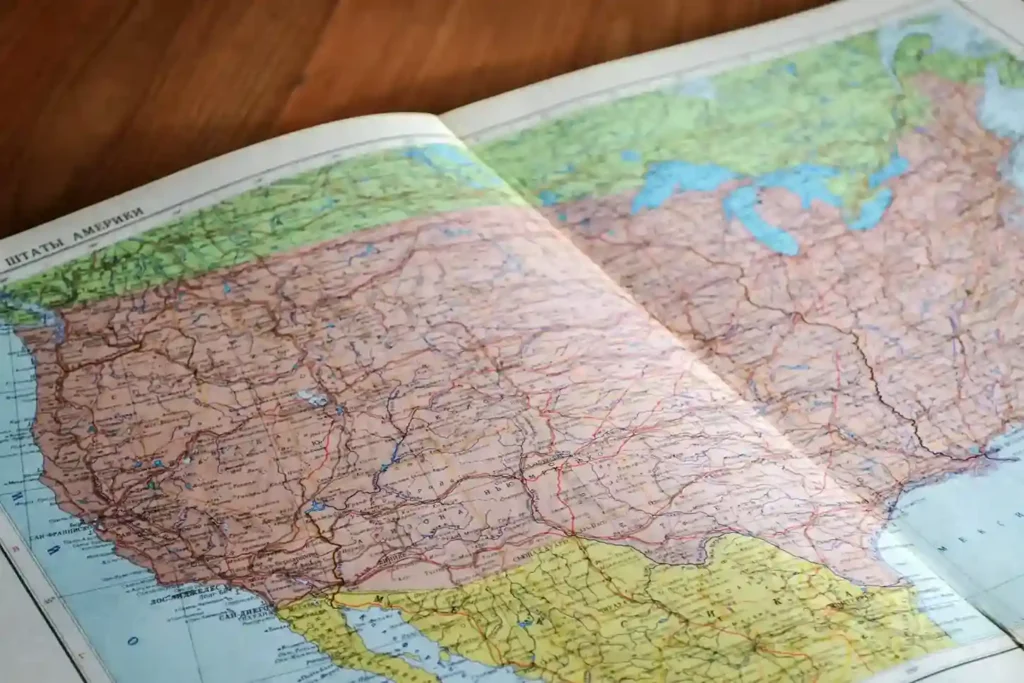
This is a classic, educational physical title, available on Amazon and in many classroom supply catalogs, built around a set of prompts covering countries, capitals, and geographic trivia. Whoever’s turn it is draws from the deck, reads the prompt, and tries to answer before time runs out. The shuffle-and-deal setup fits into a short class period, and a printed instruction sheet means a sub or parent volunteer can run it without prep.
Memory Match
This is a simple recall format built on a familiar flip-and-pair mechanic: turn over two tiles, and if a flag pairs correctly with its country, whoever flipped them keeps the pair. Most versions include a hint for anyone who gets stuck early on. It’s especially effective for a younger crowd still building basic recognition, and colorful tile designs keep attention high during longer sessions, making it a popular pick among games for kids first learning the world map.
Globe Trivia
A spinning model of the world and a list of questions turn this into one of the more physically interactive options on the list. Someone spins it, stops it with a finger, and has to guess the country wherever it lands, whether that’s a population detail, a language clue, or a note about neighboring countries. It works well as a whole-class warm-up or a rotating station.
Flag Recognition
Built specifically around flags, this format asks someone to identify one and connect it to the right country from a set of options. Because every country has a flag and most share visual patterns, learners start to notice colors, shapes, and symbols that help them recognize them faster over time, which carries directly into stronger map recall, genuine literacy in reading a world map, and the confidence to navigate it without help.
US States Puzzle
A physical jigsaw where each piece is shaped like a US state. The country gets assembled state by state, which builds spatial recall for shape and relative location in a way a flat worksheet can’t replicate. It’s a strong fit for a younger crowd, and works particularly well for an eight-year-old just starting to learn shapes and borders.
Continent and Ocean Explorer
This focuses on the bigger picture: the landmasses and major bodies of water that shape it. A blank world map gets filled in with labels for each landmass, water body, and major river, building a mental model of how the world’s largest features connect before zooming into individual places, and giving learners a head start to learn about their world beyond the textbook.
Capital Cities Challenge
A fast-paced format focused entirely on countries and their capitals. Because that pairing is one of the most commonly tested geography facts among countries of the world, this is a useful review session right before an exam, helping someone learn countries and capitals through repetition instead of trying to memorize a list cold from flashcards, which tends to be a far more fun way to learn material that usually feels dry.
Top Picks by Region: Europe, Africa, Asia, and the Pacific
Some formats work better when narrowed to a single region, especially mid-unit on a specific part of the world.
Europe
Europe’s dense cluster of countries makes it a great fit for a flag-based round, since the close borders force closer attention to shape and position rather than estimating by size alone.
Africa
With 54 countries packed into one landmass, Africa rewards formats that focus on a smaller sub-region at a time. A capital-focused round limited to one sub-region keeps the challenge manageable without overwhelming anyone with the full list at once.
Asia
Asia’s mix of well-known and lesser-known countries makes it a strong fit for a trivia-style round, where a blend of easy and harder questions keeps both confident and struggling learners engaged at the same time.
The Pacific region is often the most overlooked part of a standard unit, so a simple round focused on its island nations fills a gap most textbooks skip entirely. This is where a tool like the random Oceania country generator helps, introducing island nations many learners never encounter in a normal lesson plan.
These Games vs a Random Country Generator: Which Helps Faster?
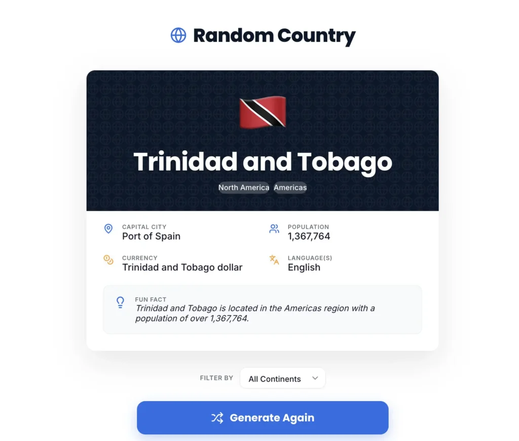
One of these formats and a random country generator solve slightly different problems, and the strongest classrooms tend to use both. One is built for repetition and practice, walking someone through the same prompt until it sticks. The other is built for spontaneous discovery: one click surfaces a place someone may never have thought to look up, which works well as a daily warm-up, a writing prompt, or a quick “place of the day” routine.
Anyone looking for a fast way to introduce unfamiliar countries before turning to a more structured format can start with the random country generator on the homepage, then follow up with a quick review round once there’s a place to anchor the lesson around. For a deeper look at how the tool itself works, the random country generator guide walks through every feature step by step.
Tips for Teachers and Parents
A few small adjustments make any of these activities more effective in a real classroom or at home:
- Start with a narrow scope, one region or one ability, before expanding to the full map
- Set a short timer to keep the pace energetic instead of letting a round drag
- Mix digital and physical options across the week so screen time doesn’t dominate every lesson
- Let learners pair up occasionally, since explaining a response to someone else reinforces recall faster than going solo
- Revisit the same format every few weeks rather than introducing a brand new one each time, since familiarity with the setup speeds up actual learning and reinforces what already happened in class
Teachers looking for more structured discovery activities can also pair these games with a country generator for classroom use, which adds a random discovery element to any geography lesson.
Frequently Asked Questions
What are the best geography games for students?
A digital quiz, a tabletop title, a recall-and-flip format, and a capital-focused round are consistently among the most effective, since each targets a specific ability like reading a map, naming flags, or recalling a list.
Are these formats suitable for a full classroom?
Yes. Tabletop rounds, group trivia, and team challenges scale well to a full room, while solo digital options work better for independent or small-group review.
What age range are these best suited for?
Most of the picks on this list work for upper elementary through high school, with a younger crowd benefiting most from hands-on and flip-and-pair formats and older learners getting more out of timed rounds and trivia.
Can these replace a textbook unit?
They work best as a supplement, reinforcing what’s introduced in a lesson through repeated, low-stakes practice rather than teaching new material from scratch.
Which option is best for learning flags?
A flag-focused round is the most direct choice, since it isolates recognition without mixing in other details.
How long should a session last?
Five to fifteen minutes works well as a warm-up or closer, while a full class period suits a station rotation with several options running at once.
Are digital formats as effective as physical ones?
Both have a place. Online tools offer instant feedback and easy grading, while physical pieces encourage more conversation and hands-on practice.
What’s good for studying world capitals?
A capital-focused round works well for direct review, while a tabletop format adds a layer of friendly competition that makes repeated practice feel less repetitive.
How do these compare across different regions?
Densely packed regions tend to work well with a tightly scoped round, while a more spread-out region like the Pacific benefits from a simpler introduction first.
Can these work for general curiosity, not just classroom use?
Yes. Many of these formats work just as well for a family building general world knowledge at home, not only inside a classroom setting, and they tend to entertain just as much as they teach.
Final Thoughts
The right pick turns a subject that often feels like memorization into something learners actually look forward to. Whether it’s a quick digital quiz before a test, a tabletop round during a rainy-day class period, or a quick trivia session on a Friday afternoon, the goal stays the same: help someone learn geography without it feeling like review homework. For an easy way to keep that curiosity going outside of game time, try the random country generator and let someone discover a new country to explore every time they click.
For more ways to build out a full unit, check out this roundup of geography teaching resources for world geography lessons.